Next.js / Redesigned & live
TerraScope
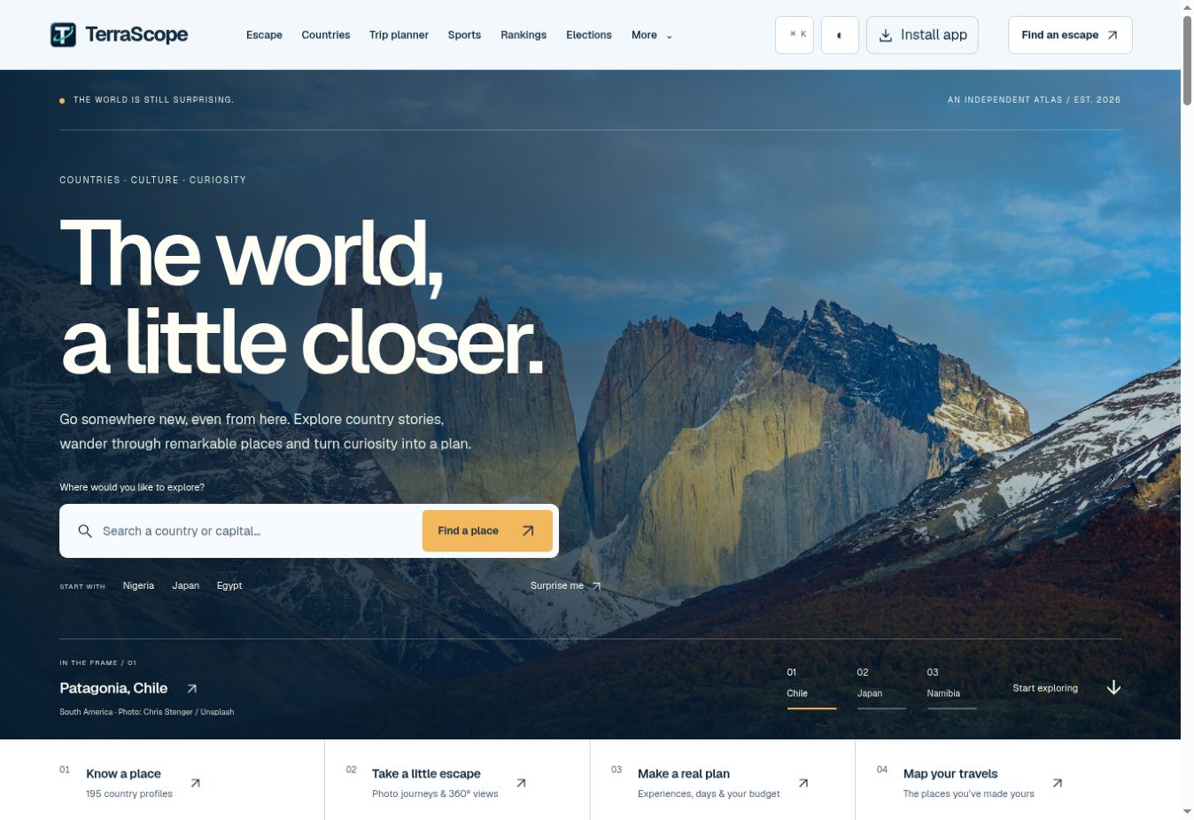
An interactive world atlas with country comparisons, travel guides and a practical itinerary planner.
Behind the build
What went into it.
Product design, frontend development & structured content
Why it exists
I wanted a world atlas that felt worth exploring, not another page of copied country facts. The idea was to connect the numbers to the people, places, sports and stories that make each country recognisable.
Design & development
A 195-country encyclopedia with an interactive political world map, rankings, comparisons, travel guides and detailed profiles. A searchable football archive sits alongside a trip planner for selecting activities, estimating a budget and saving a day-by-day itinerary.
The difficult part
Keeping the project detailed without turning it into a wall of text. The hardest part was making 195 country records consistent while still giving the deeper profiles and football archive enough personality and context.
What I learned
Country data looks clean only after a lot of decisions. Names, borders, population years, currencies and rankings all arrive in different formats. I learned to separate structured records from editorial writing so the facts can update without flattening every country into the same template.
Where it stands
A living atlas with ten ranking lenses, 195 country records and a football archive. The public trip planner saves plans in the visitor's browser and exports itineraries; activity allowances are editable estimates, and the site does not make bookings.
Have something in mind?